ArcGIS Enterprise : Comprehensive GIS Platform for Advanced Spatial Analysis
ArcGIS Enterprise: in summary
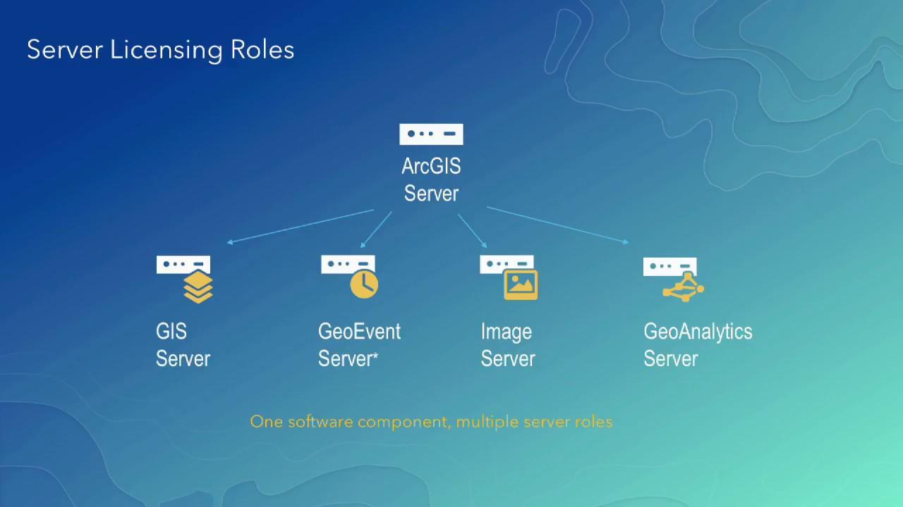
ArcGIS Enterprise is a robust platform designed for organisations that need advanced geospatial capabilities. Ideal for GIS professionals, it offers seamless data integration, custom mapping solutions, and powerful analytics. With its scalable architecture, users can efficiently manage and share spatial data.
What are the main features of ArcGIS Enterprise?
Custom Mapping Solutions
Develop dynamic maps tailored to your organisation’s specific needs. ArcGIS Enterprise offers a suite of tools that enable precise editing, symbolization, and sharing of maps among team members.
- Create sophisticated map visualizations with advanced symbology.
- Use ready-made templates and styles to streamline mapping workflows.
- Share maps across platforms while maintaining control over map layers.
Advanced Spatial Analytics
Conduct intricate spatial analyses with powerful tools designed to uncover patterns and insights. ArcGIS Enterprise facilitates a deeper understanding of geographic data through various analytical operations.
- Access tools for predictive modelling and pattern analysis.
- Utilise geostatistical methods to examine and predict spatial phenomena.
- Integrate a range of data sources for comprehensive analysis.
Scalable Architecture
Adapt the system to your organisation’s growing needs with ArcGIS Enterprise’s scalable infrastructure. Its flexible deployment allows users to manage spatial assets in a secure and efficient manner.
- Deploy on-premises, in the cloud, or through hybrid solutions.
- Seamlessly integrate with existing IT systems for enhanced productivity.
- Leverage distributed computing for larger datasets and complex analyses.
Its benefits
Provided by SCC
ArcGIS Enterprise: its rates
Standard
Rate
On demand
Clients alternatives to ArcGIS Enterprise
GIS software that allows users to manage, analyze and visualize geospatial data. Includes advanced features for routing, mapping and location-based analysis.
See more details See less details
Geoconcept offers a comprehensive set of tools for geospatial data management and analysis. Its routing capabilities allow for efficient vehicle routing and optimization, while its mapping and location-based analysis features provide insights into spatial patterns and trends.
Read our analysis about GeoconceptTo Geoconcept product page
A GIS software that provides comprehensive geographic data analysis and visualization tools for businesses and organizations.
See more details See less details
With iHound, users can easily create custom maps, analyze spatial data, and make data-driven decisions. The software also includes real-time tracking capabilities and integrates with other business systems for seamless data exchange.
Read our analysis about iHoundTo iHound product page
GIS software for easy redistricting. Precise data analysis, customisable maps, and intuitive interface.
See more details See less details
iRedistrict simplifies the redistricting process with its powerful GIS software. The software provides accurate data analysis, allowing users to create customisable maps with ease. With an intuitive interface, users can quickly and efficiently complete redistricting tasks.
Read our analysis about iRedistrictTo iRedistrict product page
Appvizer Community Reviews (0) The reviews left on Appvizer are verified by our team to ensure the authenticity of their submitters.
Write a review No reviews, be the first to submit yours.