Geoconcept : Efficient Geographic Intelligence Solutions
Geoconcept: in summary
Geoconcept offers advanced geographic intelligence solutions for businesses seeking optimisation and automation in spatial data management. Targeted at logistics, transportation, and field service sectors, Geoconcept stands out with its intuitive route planning, real-time data integration, and dynamic resource allocation features.
What are the main features of Geoconcept?
Advanced Route Optimisation
Geoconcept's advanced route optimisation tools provide businesses with the capability to plan the most efficient routes, saving time and reducing costs. This feature is instrumental for logistics and field service companies looking to enhance their operations.
- Dynamic route calculation: Adapt routes in real time based on traffic, roadworks, and other dynamic factors.
- Customisable parameters: Tailor route plans based on specific business needs such as delivery windows, vehicle types, and customer preferences.
- Integration with GPS systems: Seamlessly integrate with existing GPS devices for accurate and effective navigation.
Real-time Data Integration
Integrate Geoconcept with various data sources to leverage real-time insights for strategic decision-making. This feature ensures that your spatial data remains current and relevant, providing a significant competitive edge.
- Live data connectivity: Connect with traffic databases, weather forecasts, and other sources for updated information.
- Automated data synchronisation: Keep spatial databases synchronised without manual intervention.
- Data-driven insights: Use real-time data to improve operational workflows and decision-making processes.
Dynamic Resource Allocation
Optimise your resources with Geoconcept’s dynamic resource allocation features, designed to maximise efficiency and reduce wastage. This capability is crucial for companies needing precise control over field resources and personnel.
- Resource tracking: Monitor the location and availability of assets and personnel in real time.
- Intelligent allocation algorithms: Allocate resources based on criteria such as proximity, skillset, and priority tasks.
- Detailed reporting: Generate reports to analyse resource usage and identify areas for improvement.
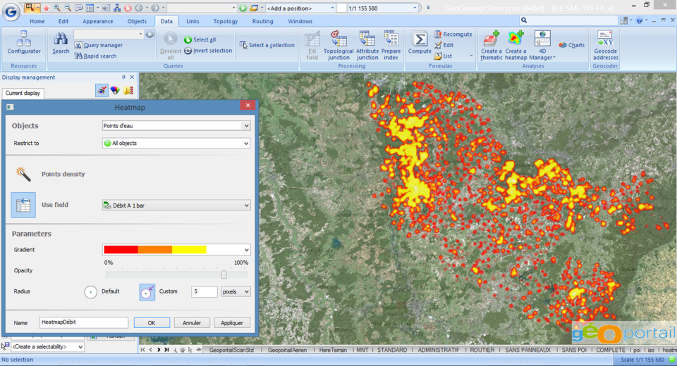 Geoconcept - Geoconcept-screenshot-0
 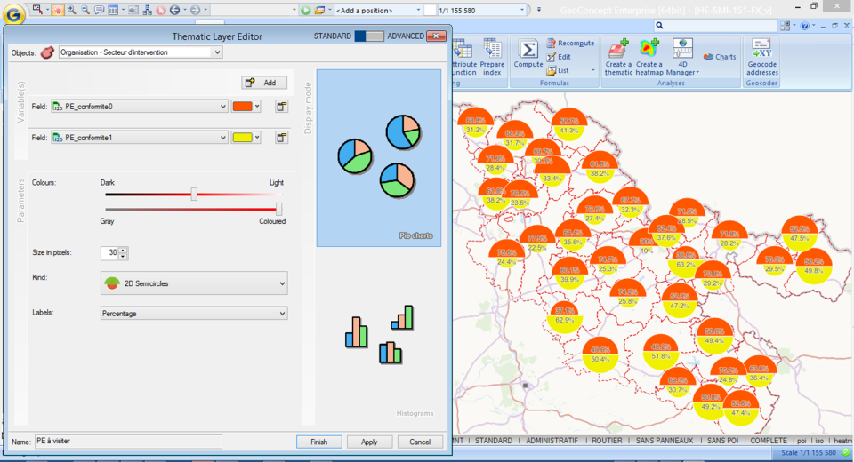 Geoconcept - Geoconcept-screenshot-1
 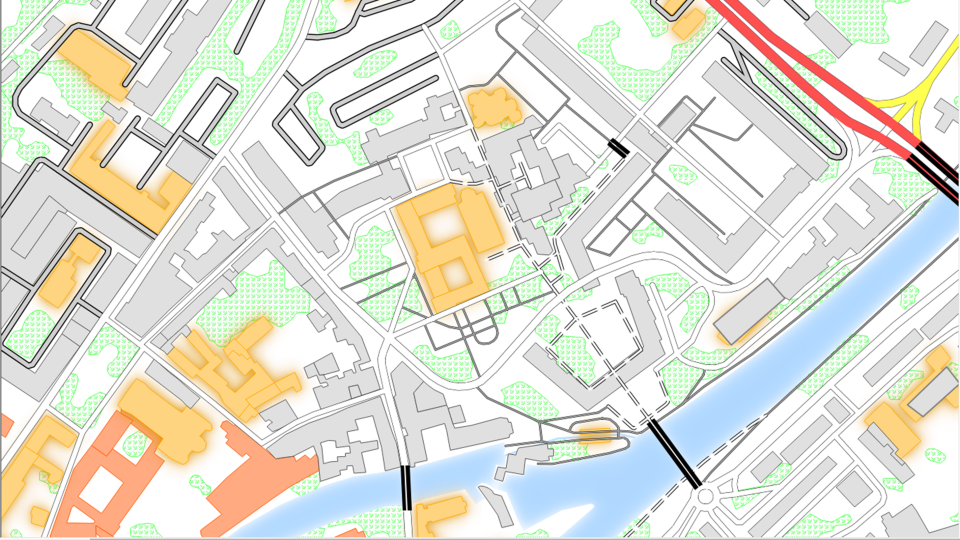 Geoconcept - Geoconcept-screenshot-2
 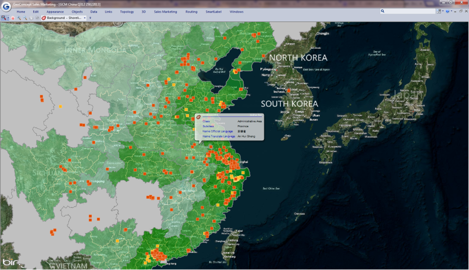 Geoconcept - Geoconcept-screenshot-3
 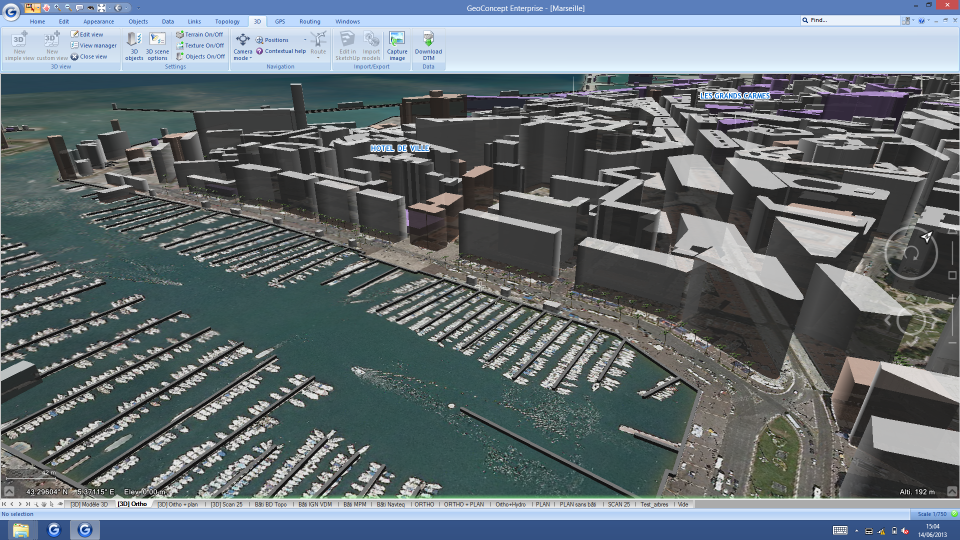 Geoconcept - Geoconcept-screenshot-4
 Geoconcept: its rates
standard
Rate
On demand
Clients alternatives to Geoconcept
A GIS software that provides comprehensive geographic data analysis and visualization tools for businesses and organizations.
See more details See less details
With iHound, users can easily create custom maps, analyze spatial data, and make data-driven decisions. The software also includes real-time tracking capabilities and integrates with other business systems for seamless data exchange.
Read our analysis about iHoundGIS software for easy redistricting. Precise data analysis, customisable maps, and intuitive interface.
See more details See less details
iRedistrict simplifies the redistricting process with its powerful GIS software. The software provides accurate data analysis, allowing users to create customisable maps with ease. With an intuitive interface, users can quickly and efficiently complete redistricting tasks.
Read our analysis about iRedistrictPowerful GIS software for businesses needing to analyse and visualise complex geospatial data. Enables real-time decision making and collaboration.
See more details See less details
LUCIAD's advanced capabilities allow users to integrate data from multiple sources, including satellite imagery and IoT devices. Its intuitive interface and customisable workflows streamline analysis and reporting.
Read our analysis about LUCIAD Appvizer Community Reviews (0) The reviews left on Appvizer are verified by our team to ensure the authenticity of their submitters.
Write a review No reviews, be the first to submit yours.